Restr:Map NL - Ouder-Amstel - Ouderkerk aan de Amstel.svg

Ment rakwel PNG ar restr SVG : 800 × 600 piksel. pizhderioù all : 320 × 240 piksel | 640 × 480 piksel | 1 024 × 768 piksel | 1 280 × 960 piksel | 2 560 × 1 920 piksel.
Restr orin (restr SVG file, pizhder 800 × 600 piksel, ment ar restr : 23 Kio)
![]()
| Tennet eo ar restr-mañ eus Wikimedia Commons ha gallout a ra bezañ implijet evit raktresoù all. Diskouezet eo deskrivadur he fajenn zeskrivañ amañ dindan. |
Diverradur
| Deskrivadur |
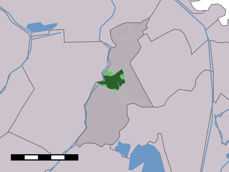
English: Map of Ouderkerk aan de Amstel, municipality of Ouder-Amstel, the Netherlands |
| Deiziad | 2001 - 2006 |
| Mammenn | Centraal Bureau voor de Statistiek |
| Aozer | Centraal Bureau voor de Statistiek |
Aotre-implijout

|
Reiñ a ra d'an holl, piaouer gwirioù ar restr-mañ, Centraal Bureau voor de Statistiek, an aotre da implijout anezhi evit kement mennad gant ma vo meneget fraezh anv piaouer ar gwirioù. Aotreet eo adskignañ ar restr, sevel oberennoù deveret pe ober un impjij kenwerzhel anezhi, ha kement implij all a c'hall bezañ. |
Deroadenn:
|
Istor ar restr
Klikañ war un deiziad/eur da welet ar restr evel ma oa da neuze.
| Deiziad/Eur | Munud | Mentoù | Implijer | Notenn | |
|---|---|---|---|---|---|
| red | 15 Ebr 2006 da 10:11 | | 800 × 600 (23 Kio) | Eugene van der Pijll | Map of Ouderkerk aan de Amstel, municipality of Ouder-Amstel, the Netherlands. {{Statistics Netherlands map}} Category:Maps of North Holland |
Implij ar restr
Implijout a ra ar bajenn da heul ar restr-mañ :
Implij hollek ar restr
Ober a ra ar wikioù da-heul gant ar restr-mañ :
- Implij war af.wikipedia.org
- Implij war de.wikipedia.org
- Implij war es.wikipedia.org
- Implij war fa.wikipedia.org
- Implij war fr.wikipedia.org
- Implij war it.wikipedia.org
- Implij war mk.wikipedia.org
- Implij war nl.wikipedia.org
- Implij war www.wikidata.org